Master Utility Map Westminster Canterbury Richmond
About This Project
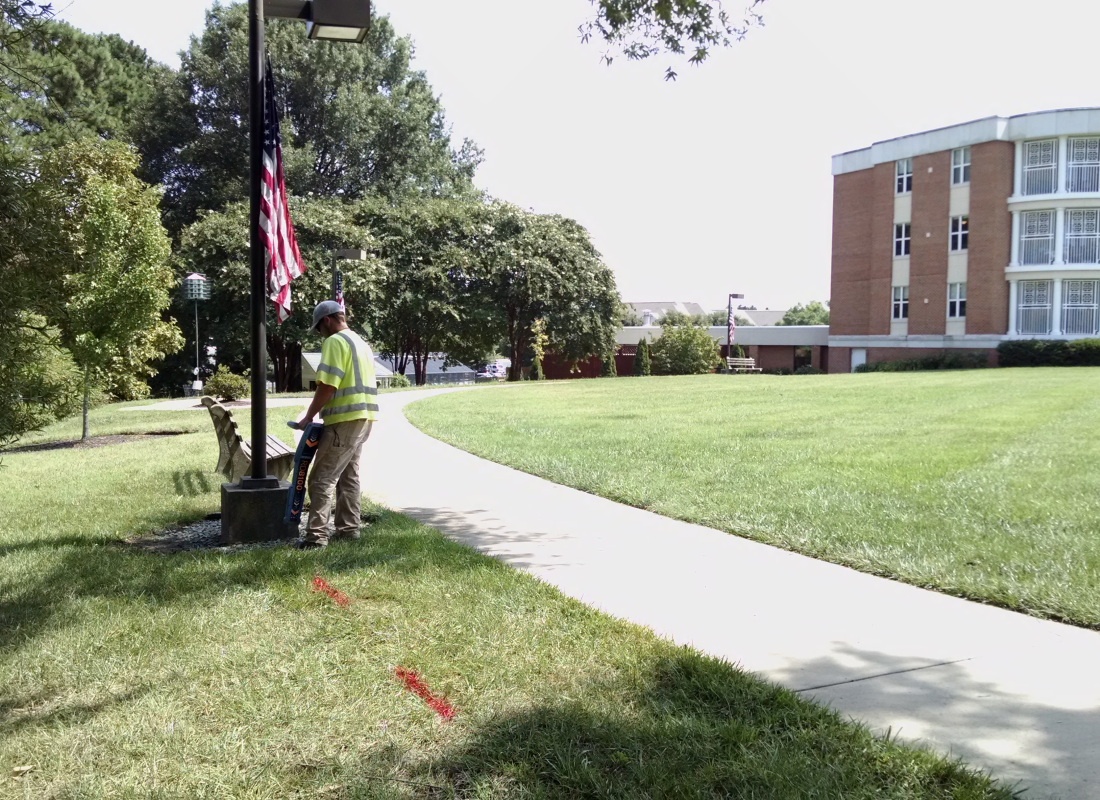
Brockenbrough performed subsurface utility engineering designation and location on a 60-acre parcel at Westminster Canterbury. We mapped over 2 miles of water line, nearly 7 miles of electric line, 5,700 linear feet of gas line, and 60 sanitary and 270 storm structures. We provided the client with CAD files and color prints of each of the utilities.
Client
Westminster Canterbury Richmond
Owner
Westminster Canterbury Richmond
Markets
- Surveying
Services
- Survey