Surveying has always been an important service provided by Brockenbrough. From bitter cold climates like Iceland to hot, muggy environments in Panama, our surveyors battle the elements and perform to meet our clients’ needs. With today’s survey instruments information is accessible more quickly and accurately than ever before. Brockenbrough’s surveying capabilities help ensure seamless transition and continuity throughout the design and construction process.

- Topographical Survey
- ALTA/NSPS Land Title Survey
- Boundary Survey
- Global Positioning Systems (GPS)
- Hydrographic Surveys
- Construction Staking

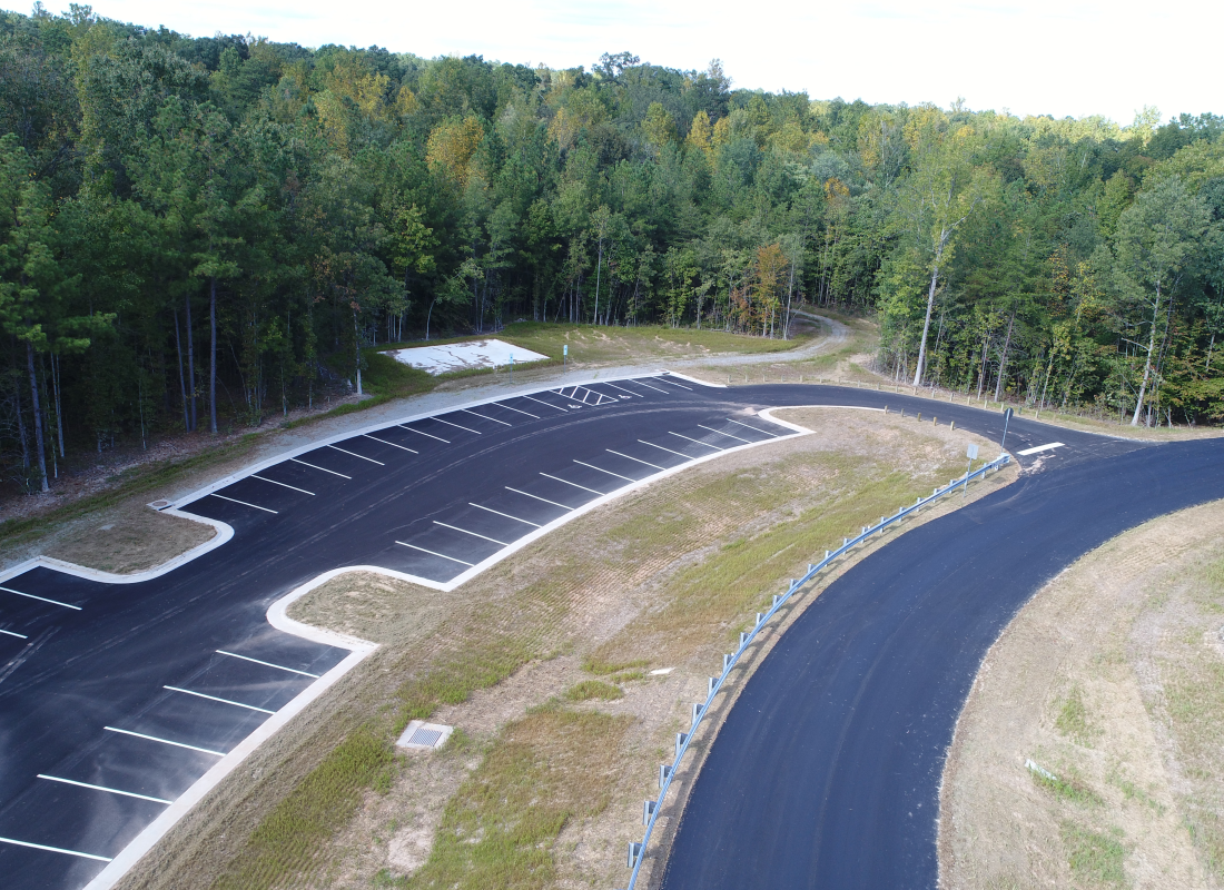
Brockenbrough has been providing topographic surveying since its founding over 60 years ago. Today the company uses Total Station and Electronic Field Books, Aerial Mapping, and Global Positioning System (GPS) applications to accomplish surveying tasks. Brockenbrough has mapped many types of facilities, from small cell phone tower sites to large residential communities and commercial and industrial complexes. |
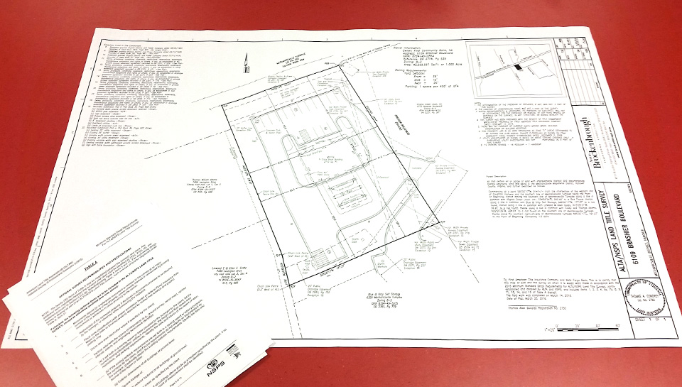
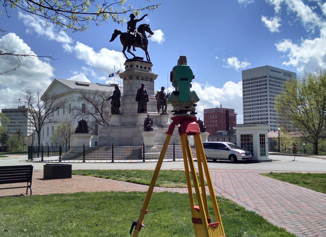
Brockenbrough is accustomed to providing surveys that meet the requirements of the American Land Title Association/American Congress on Surveying and Mapping (ALTA/ACSM) in addition to other specifications required for each individual project. Whether it is for a small city lot or a large site development project, Brockenbrough surveyors have the experience to meet clients’ requirements. |
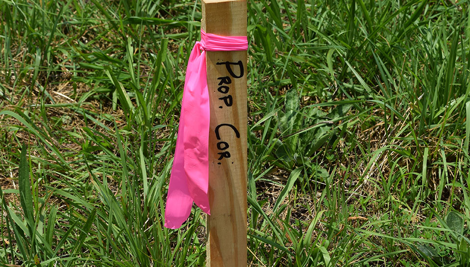
Boundary surveys are important to every property owner. Lending institutions and title companies often have specific requirements that must be strictly followed in order to meet their stringent demands. Brockenbrough can provide boundary surveys tailored to those needs. |

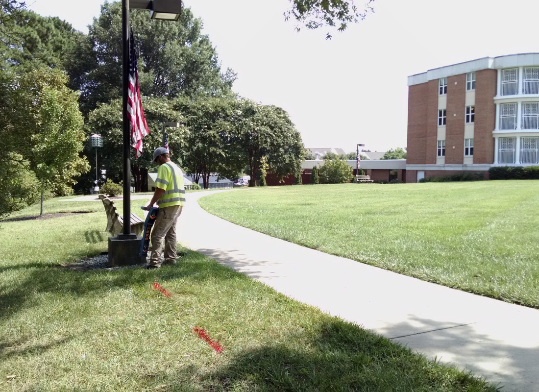
Brockenbrough teams use GPS applications to augment conventional surveying methods, and have the GPS equipment and staff experience to meet clients’ needs. Their knowledge and up-to-date technological equipment have enabled them to establish horizontal and vertical controls on almost any project quickly and accurately. As technology continues to improve, Brockenbrough will continue to grow and maintain superior service in the survey profession. |
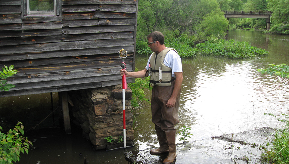
Brockenbrough provides a wide range of hydrographic surveying services, including those for bridges and bridge support structures. The teams have also provided clients with topographic information to establish base elevations for monitoring erosion and sediment buildup in the bottoms of lakes and ponds. Through the use of sounding equipment, subsurface topography can be determined for use in the design and construction of bridges and other structures. |

Brockenbrough’s clients and contractors often request services to stake out designs during construction. This is encouraged in order to reduce coordination problems while the construction is under way. Brockenbrough offers construction staking for any type of project. The use of electronic field books combined with conventional methods and an understanding of the final product ensure the job gets done correctly the first time. |

